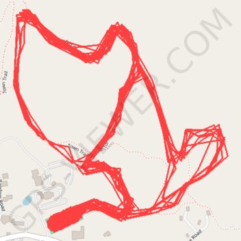
Marlboro Nordic Ski Club Trails
- Distance: 30.9 mi
- Elevation gain: 1,038 m
- Maximum elevation: 556 m
- Elevation loss: 1,038 m
- Minimum elevation: 490 m
- Moving time: 4 h 37 s
- Moving speed: 7.7 mph
- Maximum speed: 30.4 mph
- Total time: 4 h 21 m
- Global speed: 7.1 mph
Interactive trail map
Trail profile
- Distance: 30.9 mi
- Elevation gain: 1,038 m
- Maximum elevation: 556 m
- Elevation loss: 1,038 m
- Minimum elevation: 490 m
- Moving time: 4 h 37 s
- Moving speed: 7.7 mph
- Maximum speed: 30.4 mph
- Total time: 4 h 21 m
- Global speed: 7.1 mph
About this trail
Name: Marlboro Nordic Ski Club Trails trail, distance, elevation, map, profile, GPS track
End: South Road, Marlboro, Windham County, Vermont, 05344, United States (42.83897 -72.73279)
Coordinates: 42.83876 -72.73491 42.84522 -72.72641