Import a GPX file

Trails.lt route

name=trails.lt route

  • Distance: 13.2 mi
  • Elevation gain: 129 m
  • Maximum elevation: 36 m
  • Elevation loss: 129 m
  • Minimum elevation: 19 m

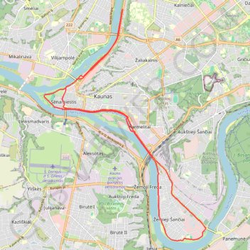
Interactive trail map

Trail profile

  • Distance: 13.2 mi
  • Elevation gain: 129 m
  • Maximum elevation: 36 m
  • Elevation loss: 129 m
  • Minimum elevation: 19 m

About this trail

Gear up for your next adventure:

🧥Breathable Waterproof Jackets - Essential rain protection for the unpredictable British climate
🛌Sleeping Mats - Insulated mats for comfortable outdoor sleeping
🌂Windproof Trekking Umbrellas - Surprising but effective rain protection on low-wind trails
🧦Merino Wool Hiking Socks - Moisture-wicking socks to prevent blisters during long mountain walks
GPS Outdoor Watches - Watches with GPS tracking for hiking and exploration

As an Amazon Associate, this site earns from qualifying purchases at no extra cost to you.