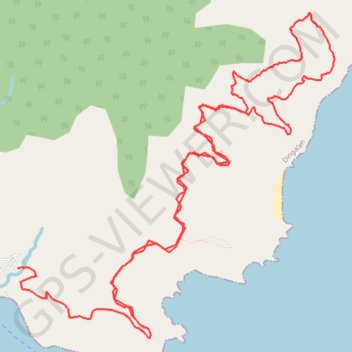
Dingalan-San Luis
- Distance: 14.1 mi
- Elevation gain: 1,075 m
- Maximum elevation: 340 m
- Elevation loss: 1,270 m
- Minimum elevation: 26 m
- Moving time: 2 h 51 m
- Moving speed: 4.9 mph
- Maximum speed: 28.0 mph
- Total time: 5 h 3 m
- Global speed: 2.8 mph
Interactive trail map
Trail profile
- Distance: 14.1 mi
- Elevation gain: 1,075 m
- Maximum elevation: 340 m
- Elevation loss: 1,270 m
- Minimum elevation: 26 m
- Moving time: 2 h 51 m
- Moving speed: 4.9 mph
- Maximum speed: 28.0 mph
- Total time: 5 h 3 m
- Global speed: 2.8 mph
About this trail
Name: Dingalan-San Luis trail, distance, elevation, map, profile, GPS track
Coordinates: 15.37606 121.41186 15.41532 121.45154