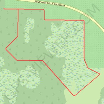
Old Grove Trail
Constructed 2024
- Distance: 1.8 mi
- Elevation gain: 2 m
- Maximum elevation: 9 m
- Elevation loss: 3 m
- Minimum elevation: 7 m
Interactive trail map
Trail profile
- Distance: 1.8 mi
- Elevation gain: 2 m
- Maximum elevation: 9 m
- Elevation loss: 3 m
- Minimum elevation: 7 m
About this trail
Name: Old Grove Trail trail, distance, elevation, map, profile, GPS track
Start: Old Grove Trail, Martin County, Florida, 34593, United States (27.19589 -80.36917)
End: Old Grove Trail, Martin County, Florida, 34593, United States (27.19583 -80.36787)
Coordinates: 27.18873 -80.36917 27.19589 -80.36031