Scabland South Explore
- Distance: 4.7 mi
- Elevation gain: 174 m
- Maximum elevation: 1,907 m
- Elevation loss: 174 m
- Minimum elevation: 1,808 m
- Moving time: 1 h 58 m
- Moving speed: 2.4 mph
- Maximum speed: 3.5 mph
- Total time: 2 h 2 m
- Global speed: 2.3 mph
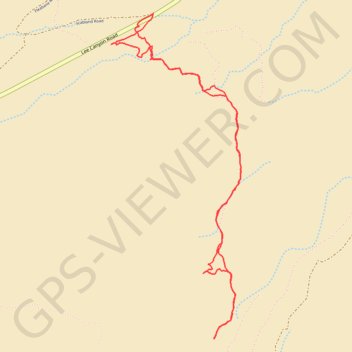
Interactive trail map
Trail profile
- Distance: 4.7 mi
- Elevation gain: 174 m
- Maximum elevation: 1,907 m
- Elevation loss: 174 m
- Minimum elevation: 1,808 m
- Moving time: 1 h 58 m
- Moving speed: 2.4 mph
- Maximum speed: 3.5 mph
- Total time: 2 h 2 m
- Global speed: 2.3 mph
About this trail
Name: Scabland South Explore trail, distance, elevation, map, profile, GPS track
Start: Scabland Road, Clark County, Nevada, United States (36.39386 -115.58653)
End: Scabland Road, Clark County, Nevada, United States (36.39393 -115.58651)
Coordinates: 36.37143 -115.59015 36.39393 -115.57901
Other hiking, mountain biking, running and outdoor activity trails
Click on a trail to view its statistics, map and profile.
Deer Creek Catch Pan
United States > Nevada > Clark County
Distance: 7.1 mi • Elevation gain: 295 m • Maximum elevation: 2,057 m