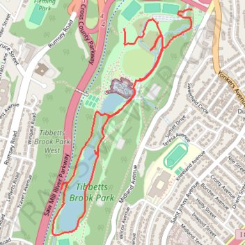
Tibbetts Brook Park
- Distance: 2.7 mi
- Elevation gain: 57 m
- Maximum elevation: 44 m
- Elevation loss: 72 m
- Minimum elevation: 15 m
- Moving time: 48 m 54 s
- Moving speed: 3.4 mph
- Maximum speed: 6.0 mph
- Total time: 54 m 12 s
- Global speed: 3.0 mph
Interactive trail map
Trail profile
- Distance: 2.7 mi
- Elevation gain: 57 m
- Maximum elevation: 44 m
- Elevation loss: 72 m
- Minimum elevation: 15 m
- Moving time: 48 m 54 s
- Moving speed: 3.4 mph
- Maximum speed: 6.0 mph
- Total time: 54 m 12 s
- Global speed: 3.0 mph
About this trail
Name: Tibbetts Brook Park trail, distance, elevation, map, profile, GPS track
Coordinates: 40.91901 -73.88198 40.93096 -73.87223
Other hiking, mountain biking, running and outdoor activity trails
Click on a trail to view its statistics, map and profile.
Old Croton Aqueduct Trail and Bronx
United States > New York > Westchester County > Village of Croton-on-Hudson
Distance: 44.0 mi • Elevation gain: 823 m • Maximum elevation: 80 m