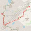
Lone Pine Lake
Starting at Whitney Portal, a wooded canyon at the end of Whitney Portal Road, the route follows the Mount Whitney Trail past the North Fork of Lone Pine Creek and into the John Muir Wilderness, with granite walls and the Mount Whitney massif framing the ascent.
It then climbs through conifer forest on a sequence of switchbacks above the drainage, reaching Lone Pine Creek before leaving the main Mount Whitney line for the quieter spur toward Lone Pine Lake.
The hike finishes at the clear alpine basin of Lone Pine Lake, where water, forest, talus, and pale Sierra granite create a scenic first taste of the high country below Mount Whitney.
#Hiking #Mountain #Lake #Nature #Forest #Wilderness #Granite #Alpine #Creek
- Distance: 2.9 mi
- Elevation gain: 549 m
- Maximum elevation: 3,067 m
- Elevation loss: 61 m
- Minimum elevation: 2,551 m
Interactive trail map
Trail profile
- Distance: 2.9 mi
- Elevation gain: 549 m
- Maximum elevation: 3,067 m
- Elevation loss: 61 m
- Minimum elevation: 2,551 m
About this trail
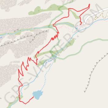
Name: Lone Pine Lake trail, distance, elevation, map, profile, GPS track
Start: Mount Whitney Trail, Inyo County, California, United States (36.58695 -118.24017)
End: Mount Whitney Trail, Inyo County, California, United States (36.57615 -118.24895)
Coordinates: 36.57511 -118.25179 36.58999 -118.23858
Other hiking, mountain biking, running and outdoor activity trails
Click on a trail to view its statistics, map and profile.