Import a GPX file

Untitled

  • Distance: 8.0 mi
  • Elevation gain: 56 m
  • Maximum elevation: 150 m
  • Elevation loss: 56 m
  • Minimum elevation: 134 m

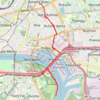
Interactive trail map

Trail profile

  • Distance: 8.0 mi
  • Elevation gain: 56 m
  • Maximum elevation: 150 m
  • Elevation loss: 56 m
  • Minimum elevation: 134 m

About this trail
Gear up for your next adventure:

🧥Packable Down Jackets - Lightweight warmth that compresses small in your bag
🔋Rechargeable Batteries - Eco-friendly power for headlamps and older GPS units
🧥Softshell Jackets - Breathable jackets for active outdoor use
📢Survival Whistles - Essential safety gear for signaling for help in mountain fog
📷Outdoor Action Cameras - Cameras designed for hiking and adventure

As an Amazon Associate, this site earns from qualifying purchases at no extra cost to you.