2021-02-21 13:09:02
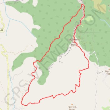
- Distance: 6.7 mi
- Elevation gain: 658 m
- Maximum elevation: 1,147 m
- Elevation loss: 659 m
- Minimum elevation: 568 m
- Moving time: 3 h 29 m
- Moving speed: 1.9 mph
- Maximum speed: 4.8 mph
- Total time: 5 h 47 s
- Global speed: 1.3 mph
Interactive trail map
Trail profile
- Distance: 6.7 mi
- Elevation gain: 658 m
- Maximum elevation: 1,147 m
- Elevation loss: 659 m
- Minimum elevation: 568 m
- Moving time: 3 h 29 m
- Moving speed: 1.9 mph
- Maximum speed: 4.8 mph
- Total time: 5 h 47 s
- Global speed: 1.3 mph
About this trail
Name: 2021-02-21 13:09:02 trail, distance, elevation, map, profile, GPS track
Coordinates: 43.68321 22.13126 43.71196 22.15769