Кирьят-хаим
- Distance: 1.8 mi
- Elevation gain: 11 m
- Maximum elevation: 10 m
- Elevation loss: 12 m
- Minimum elevation: 0 m
- Moving time: 53 m 53 s
- Moving speed: 2.0 mph
- Maximum speed: 3.2 mph
- Total time: 1 h 23 m
- Global speed: 1.3 mph
Interactive trail map
Trail profile
- Distance: 1.8 mi
- Elevation gain: 11 m
- Maximum elevation: 10 m
- Elevation loss: 12 m
- Minimum elevation: 0 m
- Moving time: 53 m 53 s
- Moving speed: 2.0 mph
- Maximum speed: 3.2 mph
- Total time: 1 h 23 m
- Global speed: 1.3 mph
About this trail
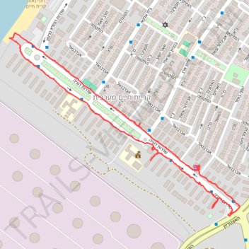
Name: Кирьят-хаим trail, distance, elevation, map, profile, GPS track
Coordinates: 32.82699 35.05167 32.83389 35.06203