2021-03-28_13-42_Sun
- Distance: 17.5 mi
- Elevation gain: 497 m
- Maximum elevation: 615 m
- Elevation loss: 340 m
- Minimum elevation: 448 m
- Moving time: 2 h 18 m
- Moving speed: 7.6 mph
- Maximum speed: 22.8 mph
- Total time: 3 h 6 m
- Global speed: 5.6 mph
Interactive trail map
Trail profile
- Distance: 17.5 mi
- Elevation gain: 497 m
- Maximum elevation: 615 m
- Elevation loss: 340 m
- Minimum elevation: 448 m
- Moving time: 2 h 18 m
- Moving speed: 7.6 mph
- Maximum speed: 22.8 mph
- Total time: 3 h 6 m
- Global speed: 5.6 mph
About this trail
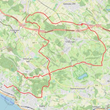
Name: 2021-03-28_13-42_Sun trail, distance, elevation, map, profile, GPS track
Coordinates: 47.24652 8.69979 47.30039 8.79439
Other hiking, mountain biking, running and outdoor activity trails
Click on a trail to view its statistics, map and profile.
Riethoven naar Oostenrijk
Netherlands > North Brabant > Riethoven > Eind
Distance: 573.0 mi • Elevation gain: 13,629 m • Maximum elevation: 1,897 m