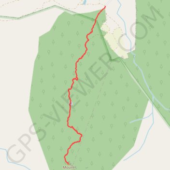
Pace's Gate - Mount Halifax
Interactive trail map
Trail profile
- Distance: 3.4 mi
- Elevation gain: 993 m
- Maximum elevation: 1,022 m
- Elevation loss: 37 m
- Minimum elevation: 66 m
About this trail
Name: Pace's Gate - Mount Halifax trail, distance, elevation, map, profile, GPS track
Start: Mt Halifax Track, Rollingstone, Townsville City, Queensland, Australia (-19.07908 146.38162)
End: Mt Halifax Track, Crystal Creek, Townsville City, Queensland, Australia (-19.11321 146.37312)
Coordinates: -19.11321 146.37230 -19.07908 146.38166