Jindabyne Loop
Interactive trail map
Trail profile
- Distance: 65.7 mi
- Elevation gain: 1,525 m
- Maximum elevation: 1,191 m
- Elevation loss: 1,550 m
- Minimum elevation: 751 m
About this trail
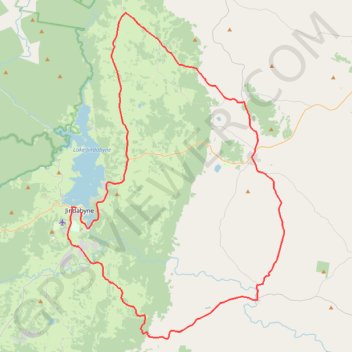
Name: Jindabyne Loop trail, distance, elevation, map, profile, GPS track
Coordinates: -36.54217 148.60577 -36.22616 148.86688
Other hiking, mountain biking, running and outdoor activity trails
Click on a trail to view its statistics, map and profile.
Cloudride24.FINAL
Distance: 639.3 mi • Elevation gain: 21,282 m • Maximum elevation: 1,754 m