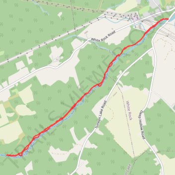
Gaspereau River Trail
- Distance: 5.2 mi
- Elevation gain: 211 m
- Maximum elevation: 91 m
- Elevation loss: 211 m
- Minimum elevation: 50 m
- Moving time: 2 h 2 m
- Moving speed: 2.5 mph
- Maximum speed: 6.1 mph
- Total time: 2 h 16 m
- Global speed: 2.3 mph
Interactive trail map
Trail profile
- Distance: 5.2 mi
- Elevation gain: 211 m
- Maximum elevation: 91 m
- Elevation loss: 211 m
- Minimum elevation: 50 m
- Moving time: 2 h 2 m
- Moving speed: 2.5 mph
- Maximum speed: 6.1 mph
- Total time: 2 h 16 m
- Global speed: 2.3 mph
About this trail
Name: Gaspereau River Trail trail, distance, elevation, map, profile, GPS track
Coordinates: 45.02684 -64.45121 45.04888 -64.41448
Other hiking, mountain biking, running and outdoor activity trails
Click on a trail to view its statistics, map and profile.