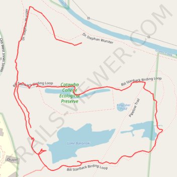
Bill Stanback Birding Loop in Catawba College Ecological Preserve
- Distance: 1.3 mi
- Elevation gain: 33 m
- Maximum elevation: 206 m
- Elevation loss: 24 m
- Minimum elevation: 190 m
- Moving time: 37 m 1 s
- Moving speed: 2.2 mph
- Maximum speed: 7.5 mph
- Total time: 1 h 1 m
- Global speed: 1.3 mph
Interactive trail map
Trail profile
- Distance: 1.3 mi
- Elevation gain: 33 m
- Maximum elevation: 206 m
- Elevation loss: 24 m
- Minimum elevation: 190 m
- Moving time: 37 m 1 s
- Moving speed: 2.2 mph
- Maximum speed: 7.5 mph
- Total time: 1 h 1 m
- Global speed: 1.3 mph
About this trail
Name: Bill Stanback Birding Loop in Catawba College Ecological Preserve trail, distance, elevation, map, profile, GPS track
Coordinates: 35.69066 -80.48027 35.69528 -80.47511