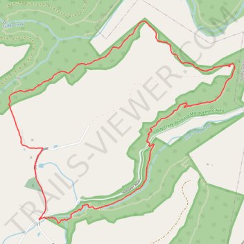
Hotwater Loop via Soddy Creek Gorge Trail (North)
- Distance: 4.9 mi
- Elevation gain: 281 m
- Maximum elevation: 462 m
- Elevation loss: 282 m
- Minimum elevation: 341 m
- Moving time: 2 h 1 m
- Moving speed: 2.4 mph
- Maximum speed: 4.7 mph
- Total time: 2 h 28 m
- Global speed: 2.0 mph
Interactive trail map
Trail profile
- Distance: 4.9 mi
- Elevation gain: 281 m
- Maximum elevation: 462 m
- Elevation loss: 282 m
- Minimum elevation: 341 m
- Moving time: 2 h 1 m
- Moving speed: 2.4 mph
- Maximum speed: 4.7 mph
- Total time: 2 h 28 m
- Global speed: 2.0 mph
About this trail
Name: Hotwater Loop via Soddy Creek Gorge Trail (North) trail, distance, elevation, map, profile, GPS track
Start: Sluder Lane, Hamilton County, East Tennessee, Tennessee, 37379, United States (35.28152 -85.19382)
Coordinates: 35.28126 -85.19711 35.29926 -85.17246