Richard's Hollow
Hiking
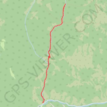
- Distance: 5.5 mi
- Elevation gain: 407 m
- Maximum elevation: 2,049 m
- Elevation loss: 408 m
- Minimum elevation: 1,662 m
- Moving time: 2 h 7 m
- Moving speed: 2.6 mph
- Maximum speed: 12.7 mph
- Total time: 2 h 25 m
- Global speed: 2.3 mph
Interactive trail map
Trail profile
- Distance: 5.5 mi
- Elevation gain: 407 m
- Maximum elevation: 2,049 m
- Elevation loss: 408 m
- Minimum elevation: 1,662 m
- Moving time: 2 h 7 m
- Moving speed: 2.6 mph
- Maximum speed: 12.7 mph
- Total time: 2 h 25 m
- Global speed: 2.3 mph
About this trail
Name: Richard's Hollow trail, distance, elevation, map, profile, GPS track
Start: Left Hand Fork Road, Cache County, Utah, United States (41.66229 -111.66369)
End: Richard's Hollow, Cache County, Utah, United States (41.66222 -111.66371)
Coordinates: 41.66216 -111.66467 41.69462 -111.65383