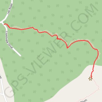
Import a GPX file

Pender Hill

#Hiking #Forest #Sea #Lake

  • Distance: 1.0 mi
  • Elevation gain: 170 m
  • Maximum elevation: 223 m
  • Elevation loss: 170 m
  • Minimum elevation: 52 m

Interactive trail map

Trail profile

  • Distance: 1.0 mi
  • Elevation gain: 170 m
  • Maximum elevation: 223 m
  • Elevation loss: 170 m
  • Minimum elevation: 52 m

About this trail

Gear up for your next adventure:

🥤Collapsible Water Bottles - Save space in your rucksack as you consume your water
🦯Walking Poles - Supportive poles for long-distance walking
👕Merino Base Layers - Natural temperature regulation for cold weather hiking and camping
🔪Outdoor Multi-Tools - Versatile tools for gear repairs and food prep in the wild
🧗Locking Carabiners - Secure gear to your pack or for light technical use

As an Amazon Associate, this site earns from qualifying purchases at no extra cost to you.