Big South Fork National River and Recreation Area
- Distance: 13.3 mi
- Elevation gain: 305 m
- Maximum elevation: 501 m
- Elevation loss: 305 m
- Minimum elevation: 420 m
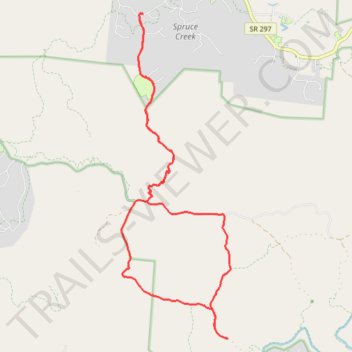
Interactive trail map
Trail profile
- Distance: 13.3 mi
- Elevation gain: 305 m
- Maximum elevation: 501 m
- Elevation loss: 305 m
- Minimum elevation: 420 m
About this trail
Name: Big South Fork National River and Recreation Area trail, distance, elevation, map, profile, GPS track
Coordinates: 36.41726 -84.80512 36.48189 -84.77809