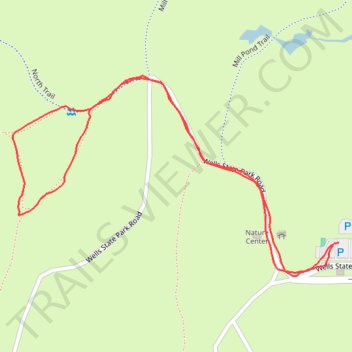
Short walk at Wells State Park
- Distance: 0.9 mi
- Elevation gain: 37 m
- Maximum elevation: 222 m
- Elevation loss: 38 m
- Minimum elevation: 184 m
- Moving time: 23 m 46 s
- Moving speed: 2.3 mph
- Maximum speed: 4.0 mph
- Total time: 24 m 20 s
- Global speed: 2.3 mph
Interactive trail map
Trail profile
- Distance: 0.9 mi
- Elevation gain: 37 m
- Maximum elevation: 222 m
- Elevation loss: 38 m
- Minimum elevation: 184 m
- Moving time: 23 m 46 s
- Moving speed: 2.3 mph
- Maximum speed: 4.0 mph
- Total time: 24 m 20 s
- Global speed: 2.3 mph
About this trail
Name: Short walk at Wells State Park trail, distance, elevation, map, profile, GPS track
Coordinates: 42.14646 -72.06623 42.14890 -72.06088