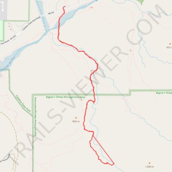
Dead Horse Canyon / Walter's Cascade - Catalina State Park
- Distance: 4.7 mi
- Elevation gain: 233 m
- Maximum elevation: 1,043 m
- Elevation loss: 231 m
- Minimum elevation: 818 m
- Moving time: 2 h 56 m
- Moving speed: 1.6 mph
- Maximum speed: 5.8 mph
- Total time: 3 h 14 m
- Global speed: 1.5 mph
Interactive trail map
Trail profile
- Distance: 4.7 mi
- Elevation gain: 233 m
- Maximum elevation: 1,043 m
- Elevation loss: 231 m
- Minimum elevation: 818 m
- Moving time: 2 h 56 m
- Moving speed: 1.6 mph
- Maximum speed: 5.8 mph
- Total time: 3 h 14 m
- Global speed: 1.5 mph
About this trail
Name: Dead Horse Canyon / Walter's Cascade - Catalina State Park trail, distance, elevation, map, profile, GPS track
Start: Catalina State Park Road, Pima County, Arizona, United States (32.42171 -110.92194)
End: Southerland Road, Pima County, Arizona, United States (32.42214 -110.92179)
Coordinates: 32.39866 -110.92305 32.42216 -110.91317