Harts Brook Preserve
- Distance: 4.6 mi
- Elevation gain: 65 m
- Maximum elevation: 130 m
- Elevation loss: 65 m
- Minimum elevation: 92 m
- Moving time: 1 h 18 m
- Moving speed: 3.5 mph
- Maximum speed: 6.2 mph
- Total time: 1 h 19 m
- Global speed: 3.4 mph
Interactive trail map
Trail profile
- Distance: 4.6 mi
- Elevation gain: 65 m
- Maximum elevation: 130 m
- Elevation loss: 65 m
- Minimum elevation: 92 m
- Moving time: 1 h 18 m
- Moving speed: 3.5 mph
- Maximum speed: 6.2 mph
- Total time: 1 h 19 m
- Global speed: 3.4 mph
About this trail
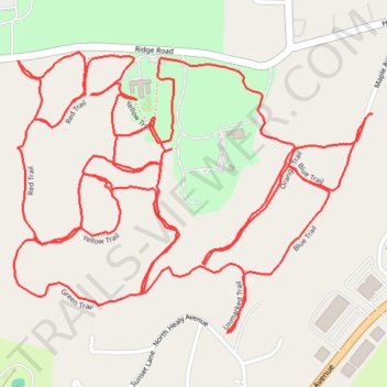
Name: Harts Brook Preserve trail, distance, elevation, map, profile, GPS track
Coordinates: 41.01491 -73.81247 41.02063 -73.80285
Other hiking, mountain biking, running and outdoor activity trails
Click on a trail to view its statistics, map and profile.