Manzano / Four Hills Open Space
- Distance: 4.8 mi
- Elevation gain: 258 m
- Maximum elevation: 1,928 m
- Elevation loss: 258 m
- Minimum elevation: 1,778 m
- Moving time: 57 m 26 s
- Moving speed: 5.0 mph
- Maximum speed: 17.7 mph
- Total time: 1 h 18 m
- Global speed: 3.6 mph
Interactive trail map
Trail profile
- Distance: 4.8 mi
- Elevation gain: 258 m
- Maximum elevation: 1,928 m
- Elevation loss: 258 m
- Minimum elevation: 1,778 m
- Moving time: 57 m 26 s
- Moving speed: 5.0 mph
- Maximum speed: 17.7 mph
- Total time: 1 h 18 m
- Global speed: 3.6 mph
About this trail
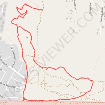
Name: Manzano / Four Hills Open Space trail, distance, elevation, map, profile, GPS track
Coordinates: 35.04259 -106.48468 35.05669 -106.47023