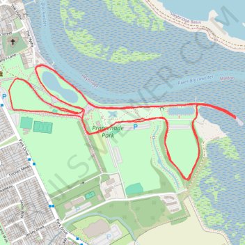
Maldon Promenade Park Run
- Distance: 3.1 mi
- Elevation gain: 41 m
- Maximum elevation: 14 m
- Elevation loss: 36 m
- Minimum elevation: 0 m
- Moving time: 32 m 12 s
- Moving speed: 5.9 mph
- Maximum speed: 7.9 mph
- Total time: 32 m 12 s
- Global speed: 5.9 mph
Interactive trail map
Trail profile
- Distance: 3.1 mi
- Elevation gain: 41 m
- Maximum elevation: 14 m
- Elevation loss: 36 m
- Minimum elevation: 0 m
- Moving time: 32 m 12 s
- Moving speed: 5.9 mph
- Maximum speed: 7.9 mph
- Total time: 32 m 12 s
- Global speed: 5.9 mph
About this trail
Name: Maldon Promenade Park Run trail, distance, elevation, map, profile, GPS track
Start: Maldon, Heybridge Basin, Maldon, Essex, England, CM9 5JQ, United Kingdom (51.72641 0.69074)
End: Maldon, Heybridge Basin, Maldon, Essex, England, CM9 5JQ, United Kingdom (51.72747 0.68779)
Coordinates: 51.72423 0.68719 51.72793 0.69895
Topography: Essex topographic map, elevation, terrain