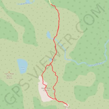
Hartz Peak, Mount Snowy and Ladies Tarn
- Distance: 6.4 mi
- Elevation gain: 498 m
- Maximum elevation: 1,227 m
- Elevation loss: 498 m
- Minimum elevation: 849 m
- Moving time: 3 h 51 m
- Moving speed: 1.7 mph
- Maximum speed: 3.3 mph
- Total time: 5 h 8 m
- Global speed: 1.2 mph
Interactive trail map
Trail profile
- Distance: 6.4 mi
- Elevation gain: 498 m
- Maximum elevation: 1,227 m
- Elevation loss: 498 m
- Minimum elevation: 849 m
- Moving time: 3 h 51 m
- Moving speed: 1.7 mph
- Maximum speed: 3.3 mph
- Total time: 5 h 8 m
- Global speed: 1.2 mph
About this trail
Name: Hartz Peak, Mount Snowy and Ladies Tarn trail, distance, elevation, map, profile, GPS track
Start: Hartz Road, Geeveston, Huon Valley, Tasmania, 7116, Australia (-43.21717 146.77028)
End: Hartz Road, Geeveston, Huon Valley, Tasmania, 7116, Australia (-43.21716 146.77027)
Coordinates: -43.25188 146.76596 -43.21716 146.77808