04 camara de lobos to cabo girao
- Distance: 3.3 mi
- Elevation gain: 137 m
- Maximum elevation: 600 m
- Elevation loss: 140 m
- Minimum elevation: 523 m
Interactive trail map
Trail profile
- Distance: 3.3 mi
- Elevation gain: 137 m
- Maximum elevation: 600 m
- Elevation loss: 140 m
- Minimum elevation: 523 m
About this trail
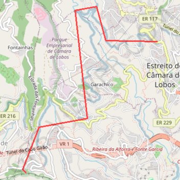
Name: 04 camara de lobos to cabo girao trail, distance, elevation, map, profile, GPS track
Coordinates: 32.65647 -17.00507 32.68118 -16.98127
Other hiking, mountain biking, running and outdoor activity trails
Click on a trail to view its statistics, map and profile.
Passeio aniversario nsr
Route created on plotaroute.com
Distance: 36.8 mi • Elevation gain: 3,095 m • Maximum elevation: 1,089 m