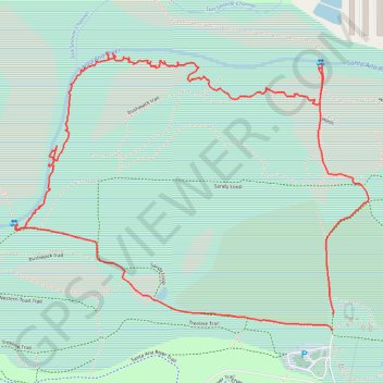
Hidden Valley bushwalk
- Distance: 3.1 mi
- Elevation gain: 9 m
- Maximum elevation: 199 m
- Elevation loss: 10 m
- Minimum elevation: 192 m
- Moving time: 1 h 30 m
- Moving speed: 2.0 mph
- Maximum speed: 3.8 mph
- Total time: 2 h 1 m
- Global speed: 1.5 mph
Interactive trail map
Trail profile
- Distance: 3.1 mi
- Elevation gain: 9 m
- Maximum elevation: 199 m
- Elevation loss: 10 m
- Minimum elevation: 192 m
- Moving time: 1 h 30 m
- Moving speed: 2.0 mph
- Maximum speed: 3.8 mph
- Total time: 2 h 1 m
- Global speed: 1.5 mph
About this trail
Name: Hidden Valley bushwalk trail, distance, elevation, map, profile, GPS track
Coordinates: 33.96396 -117.51574 33.97267 -117.50233