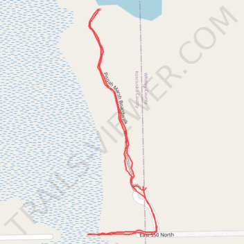
Pisgah Marsh Boardwalk
- Distance: 0.8 mi
- Elevation gain: 14 m
- Maximum elevation: 270 m
- Elevation loss: 14 m
- Minimum elevation: 261 m
- Moving time: 27 m 51 s
- Moving speed: 1.7 mph
- Maximum speed: 7.5 mph
- Total time: 42 m 57 s
- Global speed: 1.1 mph
Interactive trail map
Trail profile
- Distance: 0.8 mi
- Elevation gain: 14 m
- Maximum elevation: 270 m
- Elevation loss: 14 m
- Minimum elevation: 261 m
- Moving time: 27 m 51 s
- Moving speed: 1.7 mph
- Maximum speed: 7.5 mph
- Total time: 42 m 57 s
- Global speed: 1.1 mph
About this trail
Name: Pisgah Marsh Boardwalk trail, distance, elevation, map, profile, GPS track
Start: Kosciusko County, Indiana, 46555, United States (41.28843 -85.65242)
End: Kosciusko County, Indiana, 46555, United States (41.28845 -85.65250)
Coordinates: 41.28758 -85.65383 41.29163 -85.65218