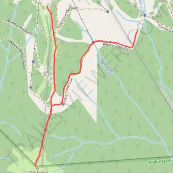
Little Buller
- Distance: 2.2 mi
- Elevation gain: 97 m
- Maximum elevation: 1,661 m
- Elevation loss: 341 m
- Minimum elevation: 1,402 m
- Moving time: 45 m 36 s
- Moving speed: 2.9 mph
- Maximum speed: 7.9 mph
- Total time: 53 m 14 s
- Global speed: 2.5 mph
Interactive trail map
Trail profile
- Distance: 2.2 mi
- Elevation gain: 97 m
- Maximum elevation: 1,661 m
- Elevation loss: 341 m
- Minimum elevation: 1,402 m
- Moving time: 45 m 36 s
- Moving speed: 2.9 mph
- Maximum speed: 7.9 mph
- Total time: 53 m 14 s
- Global speed: 2.5 mph
About this trail
Name: Little Buller trail, distance, elevation, map, profile, GPS track
Coordinates: -37.16464 146.43194 -37.15142 146.44254