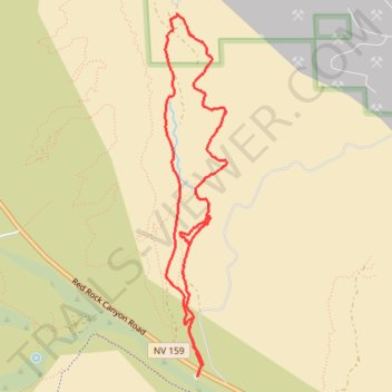
Blue Diamond Canyon loop hike from Wheeler Camp Spring Parking
- Distance: 5.1 mi
- Elevation gain: 202 m
- Maximum elevation: 1,200 m
- Elevation loss: 202 m
- Minimum elevation: 1,048 m
- Moving time: 1 h 57 m
- Moving speed: 2.6 mph
- Maximum speed: 3.8 mph
- Total time: 1 h 58 m
- Global speed: 2.6 mph
Interactive trail map
Trail profile
- Distance: 5.1 mi
- Elevation gain: 202 m
- Maximum elevation: 1,200 m
- Elevation loss: 202 m
- Minimum elevation: 1,048 m
- Moving time: 1 h 57 m
- Moving speed: 2.6 mph
- Maximum speed: 3.8 mph
- Total time: 1 h 58 m
- Global speed: 2.6 mph
About this trail
Name: Blue Diamond Canyon loop hike from Wheeler Camp Spring Parking trail, distance, elevation, map, profile, GPS track
Coordinates: 36.05476 -115.42197 36.08195 -115.41623