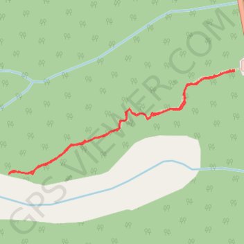
Rock Glacier Trail in Kluane Park Yukon Canada
- Distance: 1.3 mi
- Elevation gain: 159 m
- Maximum elevation: 909 m
- Elevation loss: 159 m
- Minimum elevation: 749 m
- Moving time: 56 m 54 s
- Moving speed: 1.4 mph
- Maximum speed: 3.5 mph
- Total time: 1 h 8 m
- Global speed: 1.2 mph
Interactive trail map
Trail profile
- Distance: 1.3 mi
- Elevation gain: 159 m
- Maximum elevation: 909 m
- Elevation loss: 159 m
- Minimum elevation: 749 m
- Moving time: 56 m 54 s
- Moving speed: 1.4 mph
- Maximum speed: 3.5 mph
- Total time: 1 h 8 m
- Global speed: 1.2 mph
About this trail
Name: Rock Glacier Trail in Kluane Park Yukon Canada trail, distance, elevation, map, profile, GPS track
Start: Rock Glacier Trail, Yukon, Canada (60.45514 -137.06039)
End: Rock Glacier Trail, Yukon, Canada (60.45509 -137.06042)
Coordinates: 60.45175 -137.07528 60.45514 -137.06039