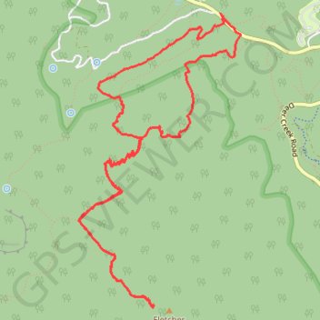
Fletcher Peak via Wildhorse Ridge
- Distance: 6.9 mi
- Elevation gain: 688 m
- Maximum elevation: 3,115 m
- Elevation loss: 690 m
- Minimum elevation: 2,561 m
- Moving time: 3 h 45 m
- Moving speed: 1.9 mph
- Maximum speed: 3.5 mph
- Total time: 5 h 37 m
- Global speed: 1.2 mph
Interactive trail map
Trail profile
- Distance: 6.9 mi
- Elevation gain: 688 m
- Maximum elevation: 3,115 m
- Elevation loss: 690 m
- Minimum elevation: 2,561 m
- Moving time: 3 h 45 m
- Moving speed: 1.9 mph
- Maximum speed: 3.5 mph
- Total time: 5 h 37 m
- Global speed: 1.2 mph
About this trail
Name: Fletcher Peak via Wildhorse Ridge trail, distance, elevation, map, profile, GPS track
Start: Deer Creek Road, Mount Charleston, Clark County, Nevada, United States (36.31115 -115.61618)
End: Deer Creek Road, Mount Charleston, Clark County, Nevada, United States (36.31131 -115.61648)
Coordinates: 36.28715 -115.63090 36.31143 -115.61433