Route
- Distance: 2.0 mi
- Elevation gain: 59 m
- Maximum elevation: 1,312 m
- Elevation loss: 59 m
- Minimum elevation: 1,292 m
Interactive trail map
Trail profile
- Distance: 2.0 mi
- Elevation gain: 59 m
- Maximum elevation: 1,312 m
- Elevation loss: 59 m
- Minimum elevation: 1,292 m
About this trail
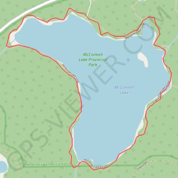
Name: Route trail, distance, elevation, map, profile, GPS track
Coordinates: 50.51801 -120.46667 50.52571 -120.45435
Other hiking, mountain biking, running and outdoor activity trails
Click on a trail to view its statistics, map and profile.