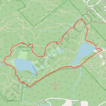
Werewolf and Big Yellow Loop
Interactive trail map
Trail profile
- Distance: 3.2 mi
- Elevation gain: 121 m
- Maximum elevation: 428 m
- Elevation loss: 121 m
- Minimum elevation: 373 m
About this trail
Name: Werewolf and Big Yellow Loop trail, distance, elevation, map, profile, GPS track
Coordinates: 45.94055 -74.19855 45.95092 -74.17685
Other hiking, mountain biking, running and outdoor activity trails
Click on a trail to view its statistics, map and profile.