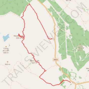
Meall Dearg explore
- Distance: 8.1 mi
- Elevation gain: 526 m
- Maximum elevation: 686 m
- Elevation loss: 472 m
- Minimum elevation: 264 m
Interactive trail map
Trail profile
- Distance: 8.1 mi
- Elevation gain: 526 m
- Maximum elevation: 686 m
- Elevation loss: 472 m
- Minimum elevation: 264 m
About this trail
Name: Meall Dearg explore trail, distance, elevation, map, profile, GPS track
Start: A826, Perth and Kinross, Scotland, PH8 0EB, United Kingdom (56.52640 -3.76229)
End: A826, Perth and Kinross, Scotland, PH8 0EB, United Kingdom (56.54985 -3.78016)
Coordinates: 56.52472 -3.81289 56.56868 -3.76229
Topography: Perth and Kinross topographic map, elevation, terrain