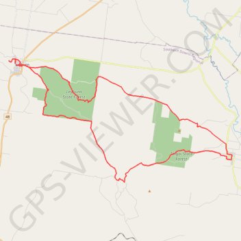
Pratten - Leyburn
Interactive trail map
Trail profile
- Distance: 40.1 mi
- Elevation gain: 831 m
- Maximum elevation: 565 m
- Elevation loss: 831 m
- Minimum elevation: 411 m
About this trail
Name: Pratten - Leyburn trail, distance, elevation, map, profile, GPS track
Start: White Street, Pratten, Southern Downs Regional, Queensland, Australia (-28.08887 151.78453)
End: White Street, Pratten, Southern Downs Regional, Queensland, Australia (-28.08819 151.78484)
Coordinates: -28.10864 151.57336 -28.00529 151.78488
Other hiking, mountain biking, running and outdoor activity trails
Click on a trail to view its statistics, map and profile.