Import a GPX file

Cedar Bog Trail

Birds Hill Provincial Park. #Hiking #Loop #BirdsHill

  • Distance: 2.2 mi
  • Elevation gain: 25 m
  • Maximum elevation: 263 m
  • Elevation loss: 25 m
  • Minimum elevation: 238 m

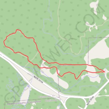
Interactive trail map

Trail profile

  • Distance: 2.2 mi
  • Elevation gain: 25 m
  • Maximum elevation: 263 m
  • Elevation loss: 25 m
  • Minimum elevation: 238 m

About this trail

Gear up for your next adventure:

Insulated Travel Mugs - Keep drinks hot while surveying the landscape from a summit
🎿Telescopic Trekking Poles - Reduces knee strain on steep topographic descents
👖Packable Overtrousers - Quick-deploy rain protection for legs in sudden storms
🧢Hiking Hats - Sun and weather protection for outdoor walks
👟Women's Trail Running Shoes - Agile footwear for fell running and technical trails

As an Amazon Associate, this site earns from qualifying purchases at no extra cost to you.