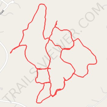
Clark Preserve Trails
- Distance: 2.3 mi
- Elevation gain: 48 m
- Maximum elevation: 175 m
- Elevation loss: 48 m
- Minimum elevation: 144 m
- Moving time: 49 m 5 s
- Moving speed: 2.8 mph
- Maximum speed: 6.0 mph
- Total time: 57 m 27 s
- Global speed: 2.4 mph
Interactive trail map
Trail profile
- Distance: 2.3 mi
- Elevation gain: 48 m
- Maximum elevation: 175 m
- Elevation loss: 48 m
- Minimum elevation: 144 m
- Moving time: 49 m 5 s
- Moving speed: 2.8 mph
- Maximum speed: 6.0 mph
- Total time: 57 m 27 s
- Global speed: 2.4 mph
About this trail
Name: Clark Preserve Trails trail, distance, elevation, map, profile, GPS track
Coordinates: 41.21145 -73.59837 41.21677 -73.59220
Other hiking, mountain biking, running and outdoor activity trails
Click on a trail to view its statistics, map and profile.