Tibag Waterfalls
- Distance: 3.4 mi
- Elevation gain: 320 m
- Maximum elevation: 311 m
- Elevation loss: 52 m
- Minimum elevation: 6 m
Interactive trail map
Trail profile
- Distance: 3.4 mi
- Elevation gain: 320 m
- Maximum elevation: 311 m
- Elevation loss: 52 m
- Minimum elevation: 6 m
About this trail
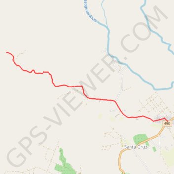
Name: Tibag Waterfalls trail, distance, elevation, map, profile, GPS track
Start: Santa Cruz, Puerto Princesa, Mimaropa, 5300, Philippines (9.94505 118.74890)
End: Santa Cruz, Puerto Princesa, Mimaropa, 5300, Philippines (9.96128 118.71020)
Coordinates: 9.94499 118.71020 9.96130 118.74890