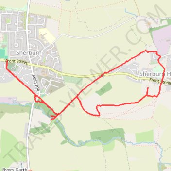
Sherburn Hill loop
- Distance: 4.2 mi
- Elevation gain: 109 m
- Maximum elevation: 156 m
- Elevation loss: 109 m
- Minimum elevation: 80 m
- Moving time: 1 h 37 m
- Moving speed: 2.6 mph
- Maximum speed: 5.3 mph
- Total time: 1 h 55 m
- Global speed: 2.2 mph
Interactive trail map
Trail profile
- Distance: 4.2 mi
- Elevation gain: 109 m
- Maximum elevation: 156 m
- Elevation loss: 109 m
- Minimum elevation: 80 m
- Moving time: 1 h 37 m
- Moving speed: 2.6 mph
- Maximum speed: 5.3 mph
- Total time: 1 h 55 m
- Global speed: 2.2 mph
About this trail
Name: Sherburn Hill loop trail, distance, elevation, map, profile, GPS track
Coordinates: 54.76847 -1.50939 54.77613 -1.47918
Topography: County Durham topographic map, elevation, terrain