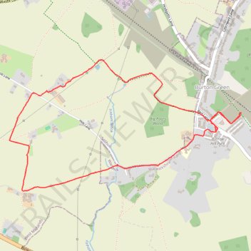
Burton Green circular
- Distance: 3.3 mi
- Elevation gain: 46 m
- Maximum elevation: 134 m
- Elevation loss: 46 m
- Minimum elevation: 110 m
- Moving time: 1 h 10 m
- Moving speed: 2.9 mph
- Maximum speed: 3.9 mph
- Total time: 1 h 58 m
- Global speed: 1.7 mph
Interactive trail map
Trail profile
- Distance: 3.3 mi
- Elevation gain: 46 m
- Maximum elevation: 134 m
- Elevation loss: 46 m
- Minimum elevation: 110 m
- Moving time: 1 h 10 m
- Moving speed: 2.9 mph
- Maximum speed: 3.9 mph
- Total time: 1 h 58 m
- Global speed: 1.7 mph
About this trail
Name: Burton Green circular trail, distance, elevation, map, profile, GPS track
Coordinates: 52.37288 -1.62818 52.38172 -1.60255
Topography: Warwickshire topographic map, elevation, terrain