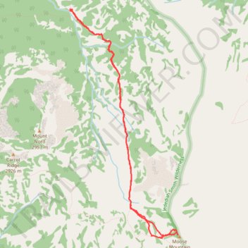
Moose Mountain via Teton Crest Trail
- Distance: 5.8 mi
- Elevation gain: 594 m
- Maximum elevation: 3,048 m
- Elevation loss: 596 m
- Minimum elevation: 2,457 m
- Moving time: 2 h 39 m
- Moving speed: 2.2 mph
- Maximum speed: 5.3 mph
- Total time: 3 h 34 m
- Global speed: 1.6 mph
Interactive trail map
Trail profile
- Distance: 5.8 mi
- Elevation gain: 594 m
- Maximum elevation: 3,048 m
- Elevation loss: 596 m
- Minimum elevation: 2,457 m
- Moving time: 2 h 39 m
- Moving speed: 2.2 mph
- Maximum speed: 5.3 mph
- Total time: 3 h 34 m
- Global speed: 1.6 mph
About this trail
Name: Moose Mountain via Teton Crest Trail trail, distance, elevation, map, profile, GPS track
Start: Carrot Ridge Trail, Teton County, Wyoming, United States (43.96730 -110.87630)
End: Carrot Ridge Trail, Teton County, Wyoming, United States (43.96712 -110.87629)
Coordinates: 43.93715 -110.87635 43.96731 -110.85660