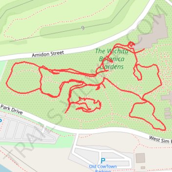
Wichita botanic gardens loop
- Distance: 1.5 mi
- Elevation gain: 5 m
- Maximum elevation: 402 m
- Elevation loss: 5 m
- Minimum elevation: 398 m
- Moving time: 46 m 35 s
- Moving speed: 1.9 mph
- Maximum speed: 3.7 mph
- Total time: 59 m 27 s
- Global speed: 1.5 mph
Interactive trail map
Trail profile
- Distance: 1.5 mi
- Elevation gain: 5 m
- Maximum elevation: 402 m
- Elevation loss: 5 m
- Minimum elevation: 398 m
- Moving time: 46 m 35 s
- Moving speed: 1.9 mph
- Maximum speed: 3.7 mph
- Total time: 59 m 27 s
- Global speed: 1.5 mph
About this trail
Name: Wichita botanic gardens loop trail, distance, elevation, map, profile, GPS track
Coordinates: 37.69457 -97.36719 37.69629 -97.36326