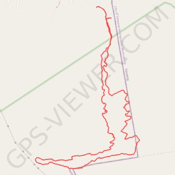
De Wildt Peglarae trail
- Distance: 5.8 mi
- Elevation gain: 372 m
- Maximum elevation: 1,621 m
- Elevation loss: 368 m
- Minimum elevation: 1,331 m
- Moving time: 3 h 11 m
- Moving speed: 1.8 mph
- Maximum speed: 5.3 mph
- Total time: 4 h 10 m
- Global speed: 1.4 mph
Interactive trail map
Trail profile
- Distance: 5.8 mi
- Elevation gain: 372 m
- Maximum elevation: 1,621 m
- Elevation loss: 368 m
- Minimum elevation: 1,331 m
- Moving time: 3 h 11 m
- Moving speed: 1.8 mph
- Maximum speed: 5.3 mph
- Total time: 4 h 10 m
- Global speed: 1.4 mph
About this trail
Name: De Wildt Peglarae trail trail, distance, elevation, map, profile, GPS track
Coordinates: -25.69515 27.94293 -25.67435 27.95775