Fentress County
East Fork
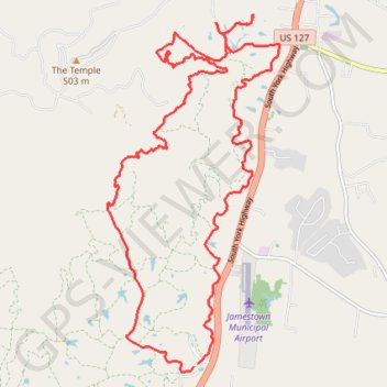
- Distance: 15.7 mi
- Elevation gain: 533 m
- Maximum elevation: 527 m
- Elevation loss: 532 m
- Minimum elevation: 271 m
Interactive trail map
Trail profile
- Distance: 15.7 mi
- Elevation gain: 533 m
- Maximum elevation: 527 m
- Elevation loss: 532 m
- Minimum elevation: 271 m
About this trail
Name: Fentress County trail, distance, elevation, map, profile, GPS track
Start: 172, D, Fentress County, Middle Tennessee, Tennessee, United States (36.33867 -84.95666)
End: Fentress County, Middle Tennessee, Tennessee, United States (36.33902 -84.95607)
Coordinates: 36.33779 -84.97313 36.39225 -84.94053