Gloomy Knob Hike
Afternoon Hike
- Distance: 2.8 mi
- Elevation gain: 434 m
- Maximum elevation: 400 m
- Elevation loss: 427 m
- Minimum elevation: 8 m
- Moving time: 1 h 45 m
- Moving speed: 1.6 mph
- Maximum speed: 4.0 mph
- Total time: 2 h 33 m
- Global speed: 1.1 mph
Interactive trail map
Trail profile
- Distance: 2.8 mi
- Elevation gain: 434 m
- Maximum elevation: 400 m
- Elevation loss: 427 m
- Minimum elevation: 8 m
- Moving time: 1 h 45 m
- Moving speed: 1.6 mph
- Maximum speed: 4.0 mph
- Total time: 2 h 33 m
- Global speed: 1.1 mph
About this trail
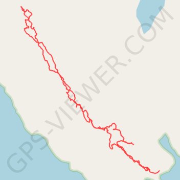
Name: Gloomy Knob Hike trail, distance, elevation, map, profile, GPS track
Start: Unorganized Borough, Alaska, United States (58.82711 -136.45614)
End: Unorganized Borough, Alaska, United States (58.82704 -136.45727)
Coordinates: 58.82696 -136.47272 58.83726 -136.45614