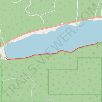
McGregor Shoreline Trail
- Distance: 2.1 mi
- Elevation gain: 35 m
- Maximum elevation: 1,202 m
- Elevation loss: 39 m
- Minimum elevation: 1,189 m
- Moving time: 51 m 13 s
- Moving speed: 2.5 mph
- Maximum speed: 5.6 mph
- Total time: 53 m 21 s
- Global speed: 2.4 mph
Interactive trail map
Trail profile
- Distance: 2.1 mi
- Elevation gain: 35 m
- Maximum elevation: 1,202 m
- Elevation loss: 39 m
- Minimum elevation: 1,189 m
- Moving time: 51 m 13 s
- Moving speed: 2.5 mph
- Maximum speed: 5.6 mph
- Total time: 53 m 21 s
- Global speed: 2.4 mph
About this trail
Name: McGregor Shoreline Trail trail, distance, elevation, map, profile, GPS track
Start: National Forest Development Road 6770, Flathead County, Montana, United States (48.03132 -114.90183)
End: Flathead County, Montana, United States (48.03573 -114.85912)
Coordinates: 48.03043 -114.90183 48.03573 -114.85912