AMAZEme
- Distance: 0.9 mi
- Elevation gain: 12 m
- Maximum elevation: 310 m
- Elevation loss: 12 m
- Minimum elevation: 306 m
- Moving time: 31 m 20 s
- Moving speed: 1.8 mph
- Maximum speed: 6.2 mph
- Total time: 39 m 21 s
- Global speed: 1.4 mph
Interactive trail map
Trail profile
- Distance: 0.9 mi
- Elevation gain: 12 m
- Maximum elevation: 310 m
- Elevation loss: 12 m
- Minimum elevation: 306 m
- Moving time: 31 m 20 s
- Moving speed: 1.8 mph
- Maximum speed: 6.2 mph
- Total time: 39 m 21 s
- Global speed: 1.4 mph
About this trail
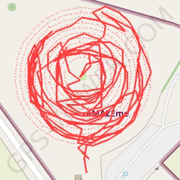
Name: AMAZEme trail, distance, elevation, map, profile, GPS track
Coordinates: -38.08856 176.19428 -38.08795 176.19485