Cycling Bear Lake
- Distance: 49.9 mi
- Elevation gain: 409 m
- Maximum elevation: 1,842 m
- Elevation loss: 408 m
- Minimum elevation: 1,807 m
- Moving time: 3 h 22 m
- Moving speed: 14.8 mph
- Maximum speed: 27.4 mph
- Total time: 4 h 19 m
- Global speed: 11.5 mph
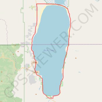
Interactive trail map
Trail profile
- Distance: 49.9 mi
- Elevation gain: 409 m
- Maximum elevation: 1,842 m
- Elevation loss: 408 m
- Minimum elevation: 1,807 m
- Moving time: 3 h 22 m
- Moving speed: 14.8 mph
- Maximum speed: 27.4 mph
- Total time: 4 h 19 m
- Global speed: 11.5 mph
About this trail
Name: Cycling Bear Lake trail, distance, elevation, map, profile, GPS track
Start: Bear Lake Boulevard, Laketown, Rich County, Utah, 84038, United States (41.85693 -111.36400)
End: Bear Lake Boulevard, Laketown, Rich County, Utah, 84038, United States (41.85704 -111.36404)
Coordinates: 41.83882 -111.41130 42.12353 -111.25207