Trondheim Running
- Distance: 3.9 mi
- Elevation gain: 79 m
- Maximum elevation: 88 m
- Elevation loss: 80 m
- Minimum elevation: 58 m
- Moving time: 27 m 32 s
- Moving speed: 8.6 mph
- Maximum speed: 14.3 mph
- Total time: 30 m 45 s
- Global speed: 7.7 mph
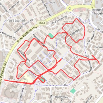
Interactive trail map
Trail profile
- Distance: 3.9 mi
- Elevation gain: 79 m
- Maximum elevation: 88 m
- Elevation loss: 80 m
- Minimum elevation: 58 m
- Moving time: 27 m 32 s
- Moving speed: 8.6 mph
- Maximum speed: 14.3 mph
- Total time: 30 m 45 s
- Global speed: 7.7 mph
About this trail
Name: Trondheim Running trail, distance, elevation, map, profile, GPS track
Coordinates: 63.42499 10.44139 63.42937 10.45569